

Your Quick Guide to the CTA Blue Line Map PDF
The cta blue line map pdf is one of the most useful tools for navigating Chicago's rapid transit system — whether you're heading to O'Hare International Airport or exploring neighborhoods along the route.
Here's where to find it fast:
- Go to transitchicago.com/maps
- Look for the L (Rail) System Map section
- Click the PDF download link to save it for offline use
- For a broader regional view, download the RTA System Map, which includes Metra and Pace connections
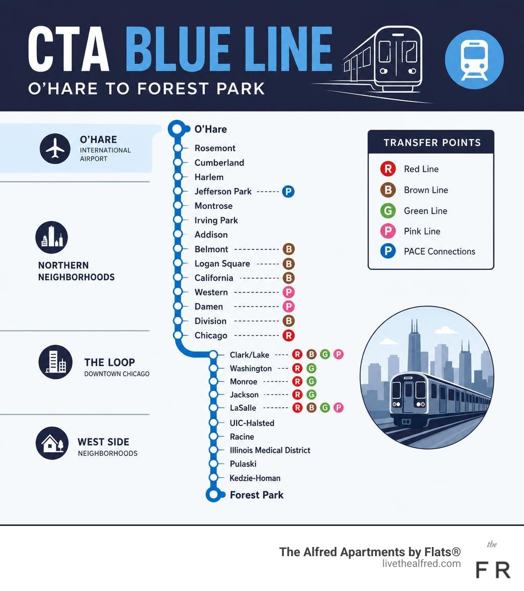
The Blue Line runs 24 hours a day, every day — connecting Chicago-O'Hare International Airport to the Forest Park terminal via the downtown Loop subway. It serves dozens of neighborhoods along the way, with key stops like Jefferson Park, Logan Square, Clark/Lake, and UIC-Halsted.
Knowing the route before you ride saves time. And having the map downloaded means you're covered even without cell service underground.
How to Download and Use the Official CTA Blue Line Map PDF

Navigating a massive transit system like Chicago's 'L' is much easier when you have the right tools in your pocket. While interactive apps are fantastic when you have a strong cellular signal, they can become unreliable when you descend into the underground subway stations of the Loop or speed along the highway medians. That is why keeping a copy of the official cta blue line map pdf saved directly to your smartphone or tablet is a smart move for daily commuters and visitors alike.
To secure your official, up-to-date copy, the best starting point is the official Maps - CTA page. The Chicago Transit Authority regularly updates these files to reflect any long-term service changes, new station openings, or permanent route adjustments.
To download the file for offline use, follow these steps:
- Visit the CTA maps portal on your mobile device or desktop computer.
- Locate the section dedicated to the 'L' (Rail) System Map.
- Choose the PDF version. The CTA provides high-resolution PDF documents that allow you to zoom in on specific stations, transfer points, and street intersections without losing image clarity.
- Save the file to your device's local storage (such as Apple Books, Files, or your Android Downloads folder).
By saving the PDF directly, you can open it instantly while deep underground in the Dearborn Subway, completely bypassing the need for Wi-Fi or cellular data.
Finding the Right CTA Blue Line Map PDF for Your Journey
Depending on how you plan to travel, a single transit map might not tell the whole story. The CTA and regional partners offer several different styles of map brochures to suit different transit needs:
- The CTA 'L' System Map: This is the classic, color-coded rail diagram. It focuses exclusively on the eight train lines (Red, Blue, Brown, Green, Orange, Pink, Purple, and Yellow). It is clean, highly visual, and perfect if you are only using the train system to get from point A to point B.
- The Full CTA System Map: This comprehensive brochure displays both the 'L' train lines and the vast network of CTA bus routes. If your journey requires you to step off the Blue Line and hop onto a local bus to reach your final destination, this map is indispensable.
- The Regional Transportation Authority (RTA) Map: For those traveling beyond the city limits into the surrounding suburbs, the RTA map is the ultimate resource. It integrates CTA services with Metra commuter trains and Pace suburban buses, giving you a complete overview of northeastern Illinois transit. You can access the [PDF] Downtown Chicago Transit Map - Regional Transportation Authority to see how these systems converge in the center of the city.
- The Night Owl Brochure: Because the Blue Line is one of the few rapid transit lines in the country to operate 24/7, the CTA provides a specialized Night Owl map. This highlights the late-night bus and train network that keeps Chicago moving between 2:00 AM and 4:00 AM, ensuring you always have a reliable way home.
CTA Blue Line Route, Stations, and Key Transfer Points
The CTA Blue Line is a vital transit artery, stretching over 26 miles across Chicago and connecting the northwestern suburbs to the western suburbs through a continuous run beneath the downtown Loop. Understanding the layout of the route makes daily travel seamless.
To help visualize the journey, the Blue Line can be divided into three distinct geographic segments:
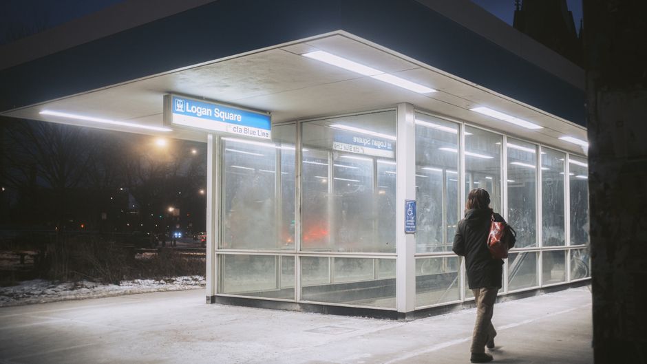
- The O'Hare Branch (Northwest): Starting at O'Hare International Airport, the line runs in the median of the Kennedy Expressway. Key stations on this branch include Rosemont, Cumberland, Jefferson Park (a major bus terminal), Montrose, Logan Square, and the bustling neighborhood hubs of California, Western, and Damen in Wicker Park.
- The Dearborn Subway (Downtown): The tracks plunge underground as they approach the city center. This subway portion runs directly beneath the Loop, stopping at Grand, Chicago, Division, Clark/Lake, Washington, Monroe, Jackson, and LaSalle.
- The Forest Park Branch (West): Emerging from the subway, the line heads west along the Eisenhower Expressway (I-290). It serves the Near West Side, the Illinois Medical District, UIC-Halsted, and neighborhoods like East Garfield Park and Austin, before terminating at Forest Park.
For a complete look at every stop along this route, explore the detailed guide to Cta Train Stations.
Navigating the System with Your CTA Blue Line Map PDF
One of the greatest strengths of the Blue Line is its connectivity. By studying your map, you can easily identify major transfer hubs where you can switch to other 'L' lines, Metra commuter trains, or Pace buses without needing to exit the paid fare areas in many cases.
- Clark/Lake: Located in the heart of downtown, this is the most connected station in the entire CTA system. From the underground Blue Line platform, you can transfer to the elevated Loop tracks to catch the Brown, Orange, Pink, Purple, or Green lines.
- Jackson & Washington: These downtown subway stations offer pedestrian transfer tunnels. At Jackson, you can walk through the passenger tunnel to transfer directly to the Red Line.
- Metra Connections: If you are heading out to farther suburbs, the Blue Line offers several convenient touchpoints. The Jefferson Park station connects directly to the Metra Union Pacific Northwest (UP-NW) line. Downtown, the Clinton and LaSalle stops are just a short walk from major commuter terminals like Ogilvie Transportation Center, Union Station, and LaSalle Street Station.
- Pace Suburban Buses: At the outer edges of the line — particularly at Forest Park, Cumberland, and Rosemont — you can seamlessly transfer to Pace buses servicing the surrounding suburban communities.
To see the exact layouts of these connections, you can reference the official ‘L’ (rail) system diagram.
Blue Line Schedules, Fares, and Hours of Operation
The Blue Line is famous for its round-the-clock availability. Along with the Red Line, it provides continuous 24-hour service, 365 days a year. No matter if you have an early morning flight to catch at O'Hare or are heading home late after dinner in the Loop, the Blue Line is running.
During peak weekday rush hours (generally 6:00 AM to 9:00 AM and 4:00 PM to 6:30 PM), trains run frequently, often arriving every few minutes to accommodate the rush of commuters. During off-peak daytime hours and on weekends, service remains highly frequent. During overnight hours — often referred to as "owl service" — trains run approximately every 15 minutes, ensuring you are never left waiting too long on the platform.
To keep tabs on exactly when the next train will roll into the station, the Cta Train Tracker provides real-time arrival predictions.
Planning Your Commute Using the CTA Blue Line Map PDF
When planning your trip, it is helpful to understand how fares and boarding procedures work on the 'L' system.
- Payment Methods: The easiest way to ride is by using a Ventra Card, which you can load with transit passes or a transit value balance. The CTA also supports contactless payment options, meaning you can tap your contactless bank card or mobile wallet (Apple Pay, Google Pay) directly at the turnstile readers.
- Fare Structure: The CTA utilizes a flat-fare system for regular rides. Whether you travel one stop or ride the entire length of the line, the cost of a standard ride remains the same. Transfers to other CTA bus or train lines within a two-hour window are either free or require only a small transfer charge, depending on your fare media.
- O'Hare Station Fare: It is important to note that departing from the O'Hare Airport station carries a different fare structure. While traveling to O'Hare costs the standard rate, starting your journey from the airport station incurs a premium fare, unless you are using a multi-day unlimited pass.
- Service Alerts and Planned Construction: As of June 2026, the CTA is actively working on track maintenance and station modernization projects to ensure the long-term reliability of the system. This can occasionally result in temporary single-track operations, where trains in both directions share a single platform, or minor boarding changes.
Before you walk out the door, it is always a best practice to check the Blue Line (Route info, alerts & schedules) - CTA page for any active service alerts or schedule adjustments.
Accessibility, Bike Policies, and Regional Connections
The Chicago Transit Authority is committed to providing inclusive, accessible transportation for everyone. Every single railcar operating on the Blue Line is fully accessible, featuring designated spaces for passengers using wheelchairs or mobility devices.
Many stations along the Blue Line are equipped with elevators, visual and audio announcement systems, and tactile platform edge warning tiles. However, because some stations on the older portions of the line are still undergoing accessibility upgrades, it is vital to check elevator status updates on the CTA website before traveling if you require step-free access.
For cyclists, the CTA offers an excellent "Bike & Ride" program. Up to two bicycles are permitted per railcar during most hours of operation. To keep transit moving smoothly for everyone, bicycles are restricted on trains during busy weekday rush periods (6:00 AM to 9:00 AM and 4:00 PM to 6:30 PM). On weekends and major holidays, bikes are welcome all day long.
To help you plan your journey, here is a quick look at typical Blue Line service frequencies across different times of the week:
| Day / Time Period | Average Service Frequency | Notes |
|---|---|---|
| Weekday AM / PM Rush | Every 3 to 10 minutes | Highest frequency for daily commuters |
| Weekday Midday | Every 6 to 10 minutes | Consistent daytime service |
| Saturdays | Every 8 to 12 minutes | Perfect for weekend exploring |
| Sundays & Holidays | Every 10 to 15 minutes | Relaxed schedules for leisure travel |
| Overnight (Owl Service) | Approximately every 15 minutes | Continuous 24-hour coverage |
Frequently Asked Questions about the CTA Blue Line
Is the CTA Blue Line a 24-hour service?
Yes, the CTA Blue Line operates 24 hours a day, 7 days a week, 365 days a year. Continuous service runs along the entire length of the line between O'Hare International Airport and the Forest Park terminal. During the late-night hours, trains run approximately every 15 minutes.
How much is the fare for the CTA Blue Line?
The Blue Line operates on a convenient flat-fare system. Tapping a Ventra Card, contactless bank card, or mobile wallet allows you to ride the entire length of the line. Standard transfers to other CTA trains or buses within two hours are seamless. Please note that journeys originating from the O'Hare Airport station are subject to a premium fare structure unless you are using an active multi-day transit pass.
Are bicycles allowed on CTA Blue Line trains?
Yes, up to two bicycles are permitted on each railcar. You can bring your bike on the train during weekends, holidays, and off-peak weekday hours. Bicycles are restricted during weekday rush hours (6:00 AM to 9:00 AM and 4:00 PM to 6:30 PM) due to higher passenger volumes.
Conclusion
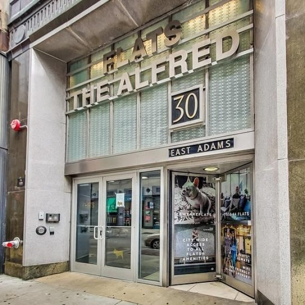
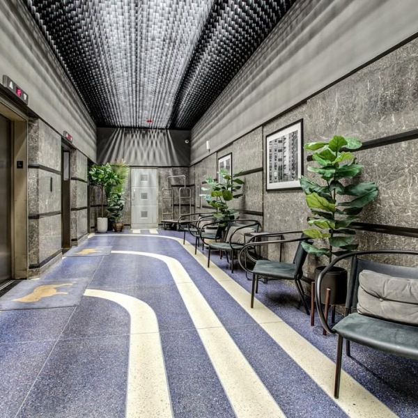
Navigating Chicago is seamless with direct access to the city's premier transit lines. The Alfred Apartments by Flats® offers luxury living in the heart of downtown Chicago's Loop, blending beautifully restored historic architecture with sleek, modern amenities.
This prime location puts residents just steps away from major transit hubs, including the Blue Line subway. Whether commuting to work, catching a flight at O'Hare, or heading out to explore the city's vibrant neighborhoods, the community serves as a perfect home base.
Ready to experience elevated downtown living with the city at the doorstep? Explore available Apartments Near Blue Line Chicago and schedule a tour of the community today!